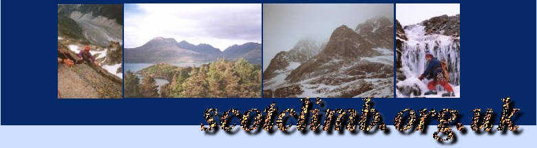
Beinn Eighe Nature Reserve
The Beinn Eighe Nature Reserve is situated in Glen Torridon right next to Liathach and only 5 miles from Kinlochewe and Loch Maree.
The walking in the reserve include Beinn Eighe itself, Sgurr Ban and Ruadh-stac Mor and Sail Mhor - these last two peaks are on either side of the fabulous Coire Mhic Fhearchair with its loch and the renound climbing area of the Triple Butress. All of these summits are connected by ridges so every peak can be reached in a days walk (in summer). There are many ways to attain the ridge/summits - some suitable for mountaineers or walkers or the bagger who wants to get up and down as quickly as possible.
All grid references are from Map OS Outdoor Leisure 8 - 1:25,000m
Munro Bagger?
The fastest way onto the ridge is to park at 977577 next to Loch Bharranach. There are signposts here providing information about the reserve which is managed by Scottish Natural Heritage.
From the car-park you can basically follow the path North, straight up the hillside before turning northeast and reaching Stuc Coire an Laoigh at 967593 (ish) - you then only have a short hike up the path to the trig point on the summit of the Beinn Eighe. From here you can strike out east or west to bag your other summits...
A better day...
A better day in the mountains would probably start from the NTS car park (956567). From here you can follow the well trodden path alongside the stream and around the bulk of the mighty Liathach to your left. Follow the path for a couple of miles to the small lochan at 934594 where the path splits in two. Take the northerly fork and begin to skirt around Sail Mor and into the corrie. Stopping at the lochside in Coire Mhic Fhearchair for a bite to eat is the order of the day while you soak in the magesty of the triple buttresses and summits behind it.
After a snack and hopefully some photos you can head up Sail Mor and onto the ridge. The ideal descent at the end of the day is by the munro bagger's path south from summit of Beinn Eighe...
Navigation
Don't go anywhere if you can't use a map/compass properly (except possibly on a navigation course!).
It's probably not possible to get properly lost in Torridon in summer because everything is so big, however there are some areas on the ridges that require careful navigation in poor weather - it's a long way down at some points... every member of the party should have a map and compass and know how to use them properly. They should also have been using them all day!
In winter navigation is a much more serious proposition and so is this ridge - if you are not a competent winter walker don't attempt the bagger's path and if you are not a competent mountaineer capable of making sensible decisions don't go for the longer walk - it's an awful long way back through deep powder snow...
Make sure you have up-to-date weather information and if it's winter learn about avalanches and read/understand A chance in a Million - there is no avalanche forcasting for this region so check out the weather for at least a week before you go and make your own assessements when you arrive.
Gear
- Summer
- Good boots
- Waterproofs & spare clothing
- Plenty of fluids and sufficient food
- Map, compass...
- Winter
- Everything you normally need
- Snow shovel and bivy bag!
Summary
This area of Scotland is one of the few true wildernesses remaining - please respect this and treat it with care - if you wander off to some remote peak and get lost it's unlikely you'll be found!
When there's any visibility every visitor to this area is impressed by it's beauty and its unspoiled panorama - help to keep it that way by following the countryside code and by using common sense. Let's keep Torridon pristine for future generations...