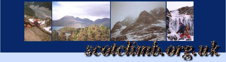
Ben Ledi
Ben Ledi is located in the Trossachs and stands above Loch Lubnaig between the village of Strathyre and the town of Callander. The mountain is part of the Queen Elizabeth Forest Park which reaches from Aberfoyle to Strathyre and is managed by the Forestry Commission.
Ben Ledi is about 867m high and is itself rather unremarkable being more-or-less "a big green hill with trees on the side" - not very exciting. What is wonderful is the scenery that surrounds the mountain and this makes the slog to the top worthwhile.
Forestry operations throughout the year may mean that restrictions are enforced and the normal routes on or off the mountain may be closed - generally there will be access to the summit but this will be advised fromthe Ben Ledi car park located at <<MAP_REF>>
The first part of the walk up the mountain is through the forest itself which means two things - no view & midges... it also, thankfully, means that the path is quite good so you shouldn't spend too much time in the forest and you'll be back on open hillside before long... if the normal paths are closed that's exactly what you'll be on - hillside, grass, featureless green slopes... - and you'll have to make your own way to the summit.
Navigation isn't difficult and there are few dangers on the way up - it's not likely that you'll knowingly walk up anything that's too steep, is it! Care is required on the descent, though so read your map, prepare and be careful!
Motivtion & Scenery
The motivation for climbing Ben Ledi must be the scenery - it's not likely to be on a tick list for any other reason (it's not a Munro) but if you want an almost unbeatable panorama head for the summit - on a good day you can see 30 miles or so westwards over the green flanks of Ben Lomond to the Arrochar Alps and the 3 beautiful summits of Ben Arthur (The Cobbler) - the view of the mountains to the west is punctuated only by beautiful lochs and the effect is spectacular! Looking north you'll find the Southern Highlands around Crianlarich reaching for the clouds and in a north-easterly direction the rest of the Trossachs including Ben Vorlich/Stuc a Chroin.
Crianlarich may be regarded as the gateway to the highlands, but the Trossachs is where it all starts - this is where the Highland Boundary Fault scores across the country and it's effect is more than visible - looking south, almost everything is flat!
Navigation
navigation on Ben Ledi is pretty straightforward but don't thinks that means it's safe if you don't know how to navigate properly. Every outdoor traveller needs to learn and this is a good place to do so (in summer). There are lots of features (mountains, lochs, deforested areas) to take bearings from or to orientate yourself from so if you need to practise this should be perfect...
Weather/Gear
In summer, the usual stuff is required - good boots, waterproofs, water, food and so on - in winter this could be a seriously long day, too so I'd advise taking a bivvy bag and some extra food as well as the usual iceaxe, crampons, plenty spare warn (dry) clothing. The mountain is actually pretty exposed on all sides so the weather in winter could be more severe than you might perhaps expect - you'll also need to assess any avalanch risk yourself! Large cornices are likely on certain parts of the ridge...
Getting there
- From Edinburgh
- Head towards Stirling and take the exit for Crianlarich just after the town. If you're in a hurry then going via Callander is best - if you have all day, take a trip through Aberfoyle and follow the signs for Callander. Take a left (towards Falls of Leny/Strathyre) when you reach Kilmahog. The car park is only 1.5 miles from Callander.
- From Glasgow
- Aberfoyle/Callander are signposted from Glasgow... head out past Loch Lomond to Aberfoyle and enjoy the ride.
- From the North
- Head for Crianlarich then, instead of turning right to head for Glasgow, go straight on, heading for Stirling... the car park is a couple of miles through Strathyre.